Flood Season in Thao Dien: When, Where and How to Get Around
A factual guide to seasonal flooding in Thao Dien, covering rainy months, high tides, flood-prone streets, municipal drainage projects, and practical tips.
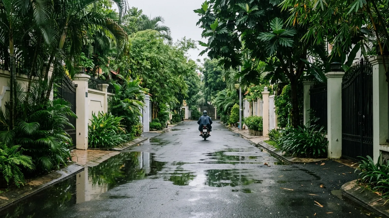
- Rainy season runs May to November, with storms often in the late afternoon
- High tides around full moons can worsen street flooding
- Quoc Huong, Nguyen Van Huong and Thao Dien street flood most
Thao Dien, administratively part of An Khanh Ward since 2025, sits in Thu Duc City, Ho Chi Minh City. Seasonal street flooding regularly affects residents and commuters in the area. Flooding is driven by two natural factors: tropical downpours and Saigon River tidal surges. Low-lying terrain and older drainage networks cause standing water along key transit corridors.
This guide outlines verified facts on Thao Dien flooding, drawn from local news reports and city statements as reported by those outlets.
When it rains and when tides peak
According to Vietnam Tourism (updated August 29, 2026), Ho Chi Minh City experiences a rainy season from May to November and a dry season from December to April. Showers generally fall in late afternoon, typically starting around 3:00 PM or 4:00 PM, and commonly last 30 to 60 minutes. In September and October, storms can produce longer spells of rain. Readers can check recent observations in our midweek rainfall coverage.
Saigon River tides play an equally critical role. Dan Tri International reported on December 6, 2025, that tides exceeded 1.4 meters on over 75 days between January and late November 2025. The peak 2025 tide reached 1.77 meters on November 6 at Phu An station, with early December forecasts projecting 1.75 meters. Dan Tri noted that tides strengthen around the lunar full moon, and when tides exceed warning levels, 23 city streets flood (warning thresholds were not specified in the report).
On October 3, 2026, Dan Tri International reported that forecasters expected tides at Phu An station to reach 1.7 to 1.75 meters from October 27 to 29, 2026, exceeding the level 3 warning threshold. On October 10, 2026, VnExpress reported tides rising past 1.7 meters around 4:00 PM—the city's highest tide up to that point in 2026—flooding roughly 3 kilometers along Pham Huu Lau Street in District 7.
In the reports above, the highest readings came in October and November, and Dan Tri noted that tides strengthen around the full moon. When peak afternoon tides coincide with seasonal downpours, low-lying sections of Thao Dien face severe water accumulation.
Streets that flood most
Street flooding in Thao Dien concentrates along specific low-lying corridors where drainage capacity is constrained.
On June 5, 2025, Tuoi Tre News identified three street stretches experiencing chronic inundation during heavy downpours:
- Quoc Huong Street: a chronically low-lying section measuring approximately 262 meters.
- Nguyen Van Huong Street: an extended riverside segment measuring over 200 meters.
- Thao Dien Street: a vulnerable section measuring approximately 270 meters.
During heavy rains around June 4, 2025, Tuoi Tre News recorded floodwaters along these three corridors reaching depths up to 30 centimeters, typically draining within 1 to 2 hours once rain stopped. Thao Dien was listed among 24 flood-prone locations in Thu Duc City.